


Trip made in October
NORTHERN
****
Geology and Topography:
30,000 acres of rolling hills with lakes and forests, grasslands, white kames.
Outdoor activities:
Hiking, walking, picnicking, camping, and fishing.
Trip made in: October
SOUTHERN
****
Geology and Topography:
20,000 acres of glacial hills, kettles, lakes, prairie restoration sites, pine woods and hardwood forests.
Outdoor activities:
Hiking, walking, picnicking, camping, and fishing.
***
Geology and Topography:
Pond, butterfly garden, grassland, and observation tower.
Outdoor activities:
Hiking, walking, picnicking, and camping.
***
Geology and Topography:
Valley,
Hiking, walking, picnicking, camping, fishing, and boating.

Trip made in: October
STATE PARK RATING:
*****
Geology and Topography-
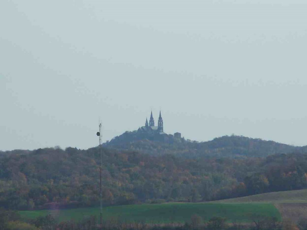
Kames, kettles, lake, prairie, woods, marsh, and moraines. There are extensive trails to be walked on. Observation tower sits on one of the kames, newly built-impressive display of the unique atmosphere of environments from high up.
Outdoor activities:
Camping, hiking, volunteer work, swimming, walking, boating, fishing, and picnicking.
This park is one of the top favorites because of the versatility that this park provides with activities and scenery. Everything is quite accessible as well with all the hills and paths there are a plentiful number of signs to direct you to Powder Hill or other locations. This was one of the busiest parks that I have visited it seemed unusual for a park that doesn’t seem to be massive to have so many people in such a small area. I thought there was a field trip going on but apparently just lots of families that enjoy the park.
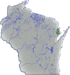
Oh and its so close to Madison! Here is a map of the park.
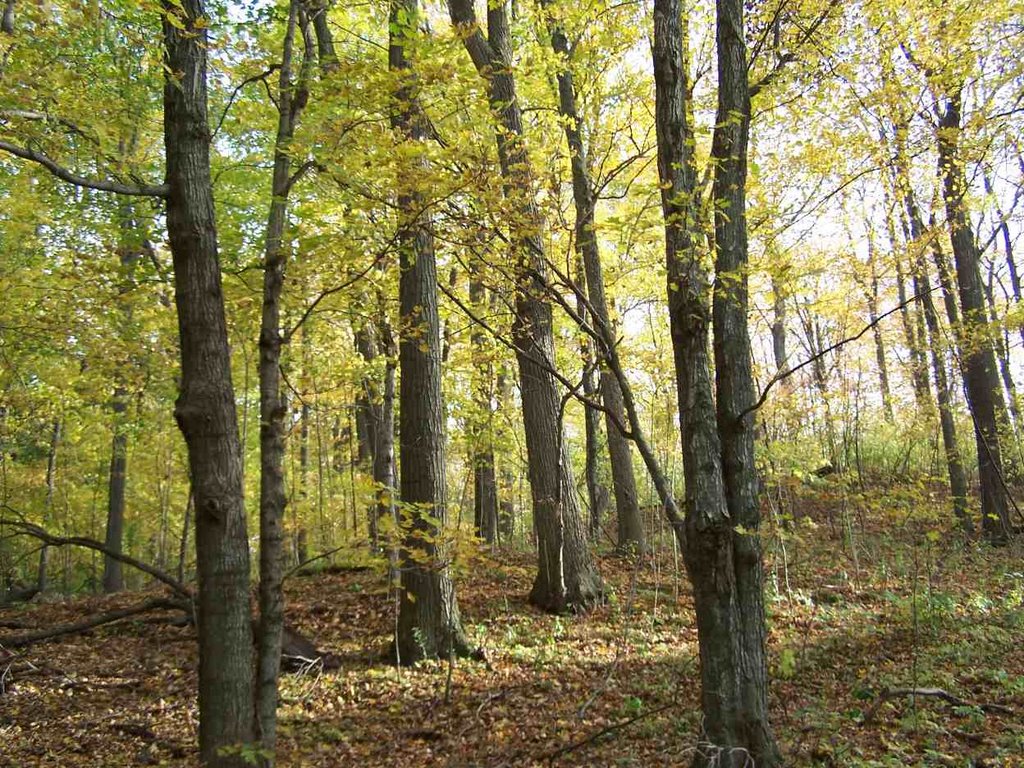 One of the most beautiful scenes I've ever seen as the woods was covered in a wonderful yellow.
 The sun was beginning to set and the water was very clear.
 I know for a fact that Tim didn't want to go up this tower however, he made the trip so we could take many more pictures of him.


 Just kidding here is the real beach.


 Trip made in: September
 He was like god he came down from the sky.
 So, smiley but deep inside he really wanted to beat the hell out of someone.
 Tim so didn't want this picture taken of him. It's ok because I think after I posted this here he enjoyed it even more.
 Trip made in: September

 Here is Dale at one of his finer moments of life.
 Here we are in a group huddle trying to figure out what else there was to see in the area. To my relief as I was very tired at this point we had seen all that there was to see.
STATE PARK RATING:
**
Topography and Geology of area-
This is a significant Indian burial ground off of the
Outdoor activities:
Walking, fishing, boating, and picnicking.
This park was just recently purchased by the state as a child while sledding one winter day discovered a bone of one of the Indians leg’s in the snow. So as being part of the city limits of Oconto the land is interrupted by private homes but has a beautiful walkway and undisturbed river way for the most part.
 Here is a excellent picture of the oconto river and this is a picture from the camera of Jonathan Myers as these were more recently added.

 I was giving a thumbs up in this very so awesome place.
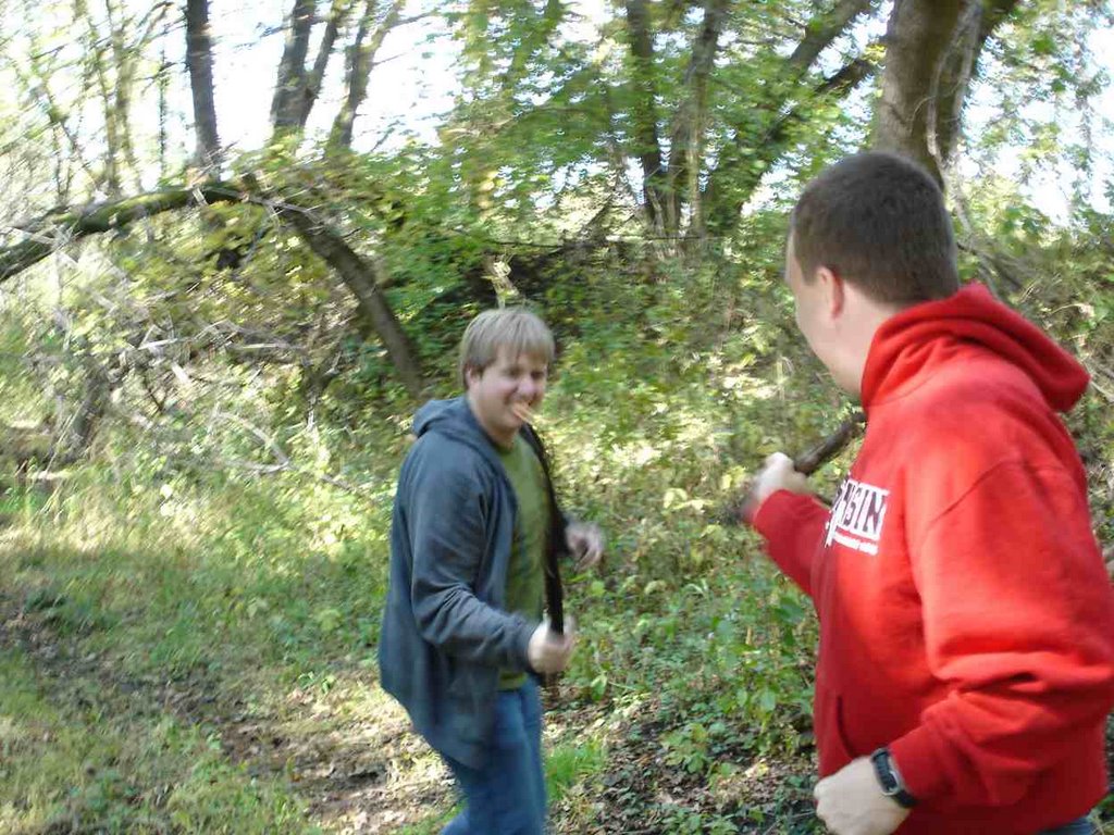 Here Dale and Tim dueled over a bag of cheetoes.
 Dale looks so cute while he's sleeping. I think I see a bubble.
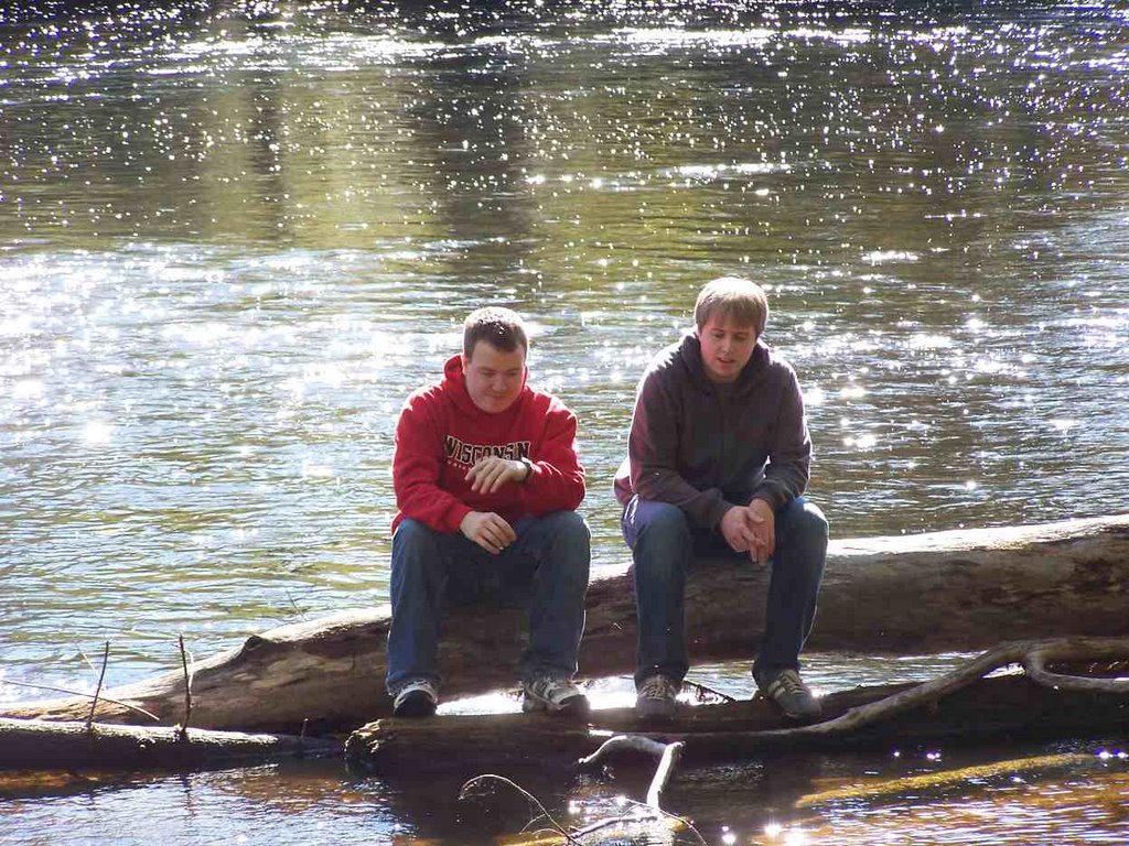 This location that you are seeing was only attainable by crossing over an existing area of logs and you can see but only very slightly that the water also isn't too deep here.
 Here is a memorial site of the indian burial ground. Dale touches the mighty beast remembering the people of the past.


Trip made in: August
STATE PARK RATING:
***
Topography and Geology of area-
North of
Outdoor activities:
Camping, walking, fishing, boating, and picnicking.
This park had a variety of blooming flowers that I haven’t seen before as I was able to get closer to the


Made trip in: June
STATE PARK RATING:
**
Topography and Geology of area-
South of the Wisconsin River and
Outdoor activities:
Walking, camping, fishing, picnicking, and boating.
On the way down here we missed the park completely and ended up heading towards


Trip made in: June
STATE PARK RATING:
***
Topography and Geology of area-
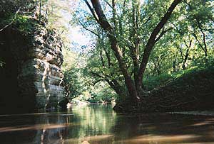
There are high bluffs with many vistas, the sandstone structures dot the cliffed environment as the
Common activities:
Hiking, fishing, boating, canoeing, camping, and picnicking.
I first discovered this park on accident almost a year ago through a canoeing trip. However, after further exploration I realized that the roads only got more curved as you traveled through the park area. This is a beautiful park with many things to do but hiking would be on the top of the list.
